People and Places
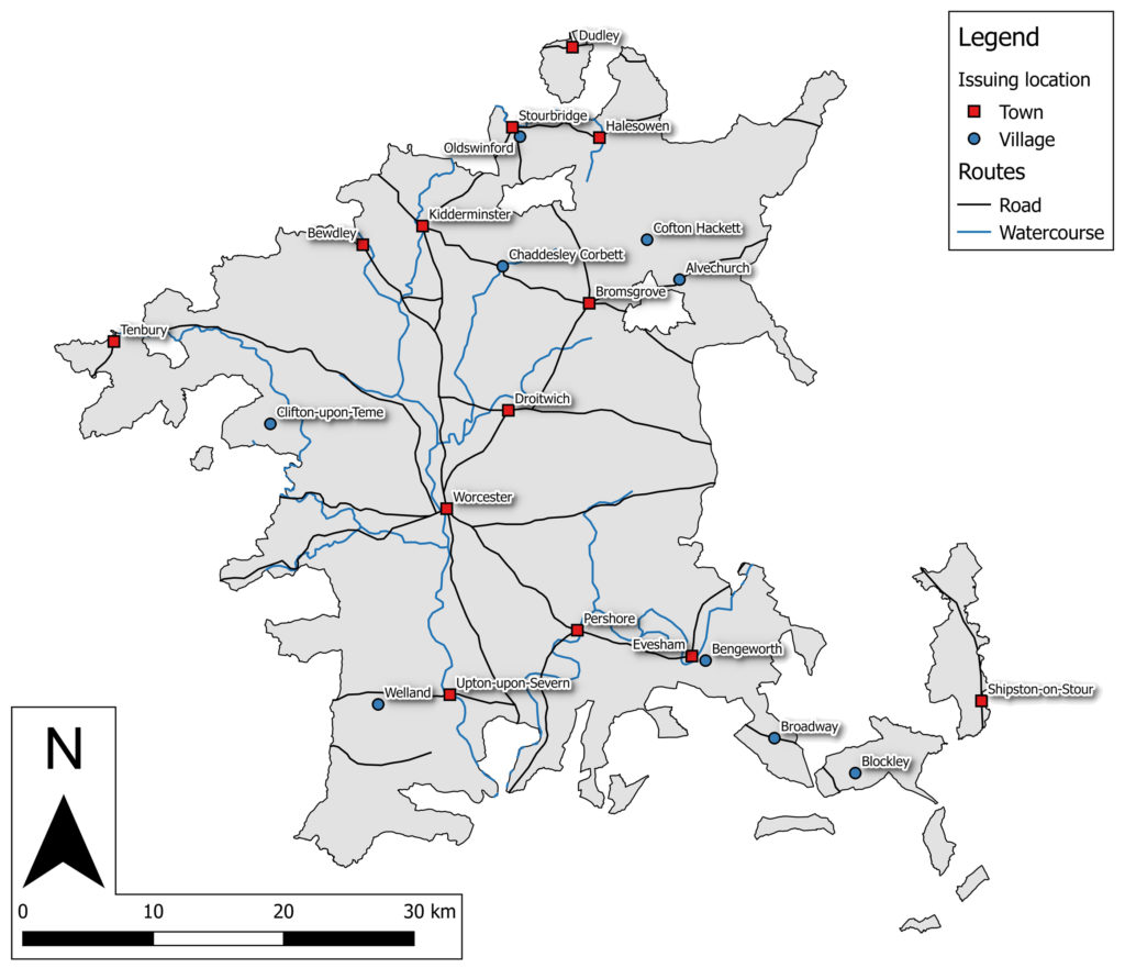
Distribution map of issue locations named on Worcestershire tokens. Roads from Speed’s 1610 county map and Ogilby’s 1698 Britannia atlas; boundary adapted from Historic County Borders Project data.
This section provides information about the people and places named on Worcestershire tokens. Click on the links below to access each page:
Alvechurch
Bengeworth
Bewdley
Blockley
Broadway
Bromsgrove
Chaddesley Corbett
Clifton-upon-Teme
Cofton Hackett
Droitwich
Dudley
Evesham
Halesowen
Kidderminster
Oldswinford
Pershore
Shipston-on-Stour
Stourbridge
Upton-upon-Severn
Welland
Worcester